Before I go on I should point out that the term volcano is used very loosely here as it may also consist of many active cones and vents which erupted at a similar time period and are related to each other. Indeed the definition of what a volcano is defined as (such as the terms central volcano and volcanic province) has been an on-going argument for a long period of time anyway!
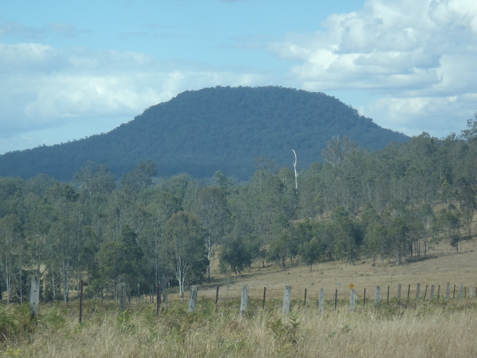 |
| Trachyte makes up Dome Mountain in the Fineflower area |
Most of the lavas have been eroded away but many eruptive sources for the volcano have been identified including plugs, pipes, dykes and possibly some sills. The lavas and intrusion preserved were erupted through the rocks of the Mesozoic aged Clarence-Moreton Basin which outcrop in the area as the Kangaroo Creek Sandstone and Walloon Coal Measures (probably including the MacLean Sandstone Member), but get older as you head west towards the edge of the Basin. The Mesozoic rocks in the area is actually quite deformed (as far as the Clarence-Moreton Basin goes) with large north-south trending folds and several faults nearby. The folds are visible as ridges and valleys (except those landforms associated with the more recent Belmore volcanics).
The Belmore Volcano is interesting because it shows the migration path of the hot-spot that formed the volcanoes that occur along the northern rivers area. There are actually four recognised volcanoes/volcanic provinces. These are all evenly spaced both in distance and time of eruption. From north to south these are the Tweed (23Ma), Belmore (21Ma), Ebor (19Ma) and Comboyne (16Ma) with the migratory trail of the hot-spot lost after this point. Sutherland et al. (2005) demonstrates that the Belmore Volcano is also curious because of the lava type erupted, whereas the other volcanoes erupted mainly more mafic volcanics (basalts and andesites) with later minor more felsic phase (rhyolite, dacite and trachyte ), the Belmore had very little basalt but lots of trachyte. But Isotope analysis by Sutherland et al (2005) has shown that the Belmore Volcanics were associated with the same mantle plume that generated the other volcanoes listed above.
Like most other recognised volcanoes in the region there is an earlier basalt type rock which occurs in the area which appears to have little to do with the most recent volcanic rocks. This is no exception in the Belmore area, where a basalt (dated at 31Ma) is present just to the north of the main eruptive area. Very little is known about this earlier volcanism and how it ties in with the geological history of the region.
References/Bibliography:
*Sutherland, F.L., Graham, I.T., Zwingmann, H., Pogson, R.E. & Barron, B.J. 2005. Belmore Volcanic Province, northeastern New South Wales, and some implications for plume variations along Cenozoic migratory trails. Australian Journal of Earth Sciences V52.
I know Mt Belmore but never knew that it was an old Volcano. We live in such an interesting area.
ReplyDeleteI'm actually not too sure about Mount Belmore itself as being part of the Belmore Volcanics (confusingly!). I think that Mount Belmore is made from sedimentary rocks uplifted and folded along the Richmond Range. The volcanic rocks are slightly further south along the range. Is does illustrate the point that it is quite an interesting area!
DeleteAlways great to get comments from you Mark. I'm enjoying your photography blog from the Tablelands and Richmond River areas of late.
This post is gold,thank you! I've always been curious about the nest of 'volcanic' looking features around Dobie Mtn. From Google Earth,you can see the vegetation changes that mark the features. Trachyte explains a lot.
Delete